
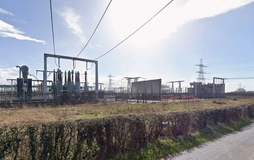
A government decision to approve a controversial cabling scheme to connect a pair of offshore windfarms near Fylde to a power station in South Ribble will leave the local landscape it cuts through changed forever, campaigners against the plans have warned.
Ministers announced on Monday that they were giving the green light to the route chosen by the Morgan and Morecambe windfarms project for bringing ashore the energy that will be generated by turbines to be built in the Irish Sea – which it is estimated will be enough to power two million homes.
The decision means a 100-metre-wide trench – typically 1.8 metres deep – will be dug for a distance of 11 miles across the Fylde to install the necessary cables, which will come onshore at St Annes beach.
The cable corridor will run from Blackpool Airport to two new substations to be constructed south of Kirkham and north west of Freckleton. That is where the offshore energy will be made suitable for supplying to properties.
A slightly narrower, 76-metre-wide cable connection corridor will then continue for another eight miles, skirting the far west of Preston before heading beneath the River Ribble to an existing substation at Penwortham – where the electricity will be fed into the national grid (see below for full breakdown of the route).
However, so-called ‘trenchless’ techniques will be used at various points to avoid any direct impact at ground level in the most sensitive and busy areas. Those methods will be deployed at locations including Lytham St Annes dunes, St Annes Old Links Golf Club and for the crossing of almost all adopted highways and railways.
Nevertheless, multiple construction compounds and temporary roads will be required in several places along the route during the expected 11 years of work.
Campaign group Fylde Says No had pushed for an alternative option – formally backed by Lancashire County Council, Fylde Council and Wyre Council – to instead run the so-called ‘transmission infrastructure’ to a grid connection site at Stanah and the Hillhouse Technology Energy Enterprise Park, east of Thornton-Cleveleys.
It was suggested that such a move could more than halve the £443m estimated project costs – and slash the total cabling length from shoreline to grid connection from more than 18 miles to just three.
In contrast, the now-approved route will cut a swathe through 600 acres of greenbelt, as well as prime agricultural land, county councillors for the area have claimed.
The Morgan and Morecambe project says greenbelt could not be avoided, but stressed that a commitment has been made to ”reinstate” the corridor area post-construction to its “pre-existing condition as far as [is] reasonably practical in line with relevant guidance”.
Fylde Council has said it is taking legal advice in the wake of the government go-ahead for the cabling, while the county council says it is “disappointed” by the decision.
Ros Forsey, from Fylde Says No, told the Local Democracy Reporting Service (LDRS): “In short, it will change the Fylde as we know it forever.
“And this was all entirely unnecessary, because there is a very well-researched, shorter, cheaper, less destructive route being recommended by the majority of local representatives.
“[Instead we face] 11 long years of living on a building site sand dunes being compromised, as this [work] involves the unprecedented task of drilling through them and taking the cables underneath,” Ros said.
She claimed that “wildlife will be decimated, local businesses and tourism ruined and greenbelt land destroyed” by the excavation of a crater “three times as wide as the M55”.
“And then two massive, noisy substations [will be] built at Freckleton, close to local homes and schools,” Ros added.
However, County Cllr David Howarth, who represents the Penwortham West division in which the cables will reach their final destination, said the scheme will have a limited effect on his area – and one that he believes is worth the value it will bring.
“[It will come] across the river from the Preston side in a pretty much direct line to the substation. The only impact would be the digging of a channel across the path alongside the river, which would then be filled in.
“Any impact would be minimal compared with the huge benefits of renewable energy,” County Cllr Howarth said.
Lancashire County Council’s cabinet member for rural affairs, environment and communities, Joshua Roberts – who represents the Fylde East division where the two new substations are to be built – said in a statement to the LDRS: “We are disappointed that the alternative connection option put forward by Lancashire County Council, Fylde Council and Wyre Council has not been taken forward.
“We will continue to work with our partners to understand the implications of this decision for Lancashire and local communities affected by the project.”
Meanwhile, Fylde Council leader Karen Buckley added: “[This news] will come as a blow to the many residents, community groups and parish councils who have opposed this cabling corridor from the outset and who have worked tirelessly to defend Fylde’s countryside.
“Fylde Council has consistently raised legitimate concerns throughout the examination process, and we share the frustration and dismay felt across our communities.
“Officers will now undertake a detailed review of the decision and all supporting documents. We have already instructed Counsel and will be taking legal advice on the implications of the decision and the options available to us.”
The LDRS approached the Morgan and Morecambe project team for comment, but had not received a response by the time of publication.
Morgan Offshore Wind Limited’s parent companies announced in January that they had decided not to proceed with the ‘agreement for lease’ for the Morgan Project. In granting the cabling route permission, the government therefore stipulated that no work can commence on the Morgan-related transmission assets until a new developer had been secured with access to the necessary funds and an agreement for lease in place.
The Morgan and Morecambe schemes will be “electrically independent” with their own cabling and substations.
‘More good than harm’
The government’s decision to grant what is known as a development consent order (DCO) for the onshore cabling route went against the recommendation of a group of four independent planning inspectors who had also assessed the proposal.
Their recommendation – which followed the project being deemed one of “national significance” necessitating ministerial involvement – was for the DCO to be ‘withheld’. That was because they considered that the “negative impacts of the [transmission infrastructure projects] outweighed the positive impacts”.
However, energy minister Baroness Margaret Curran – acting on behalf of energy security and net zero secretary Miatta Fahnbulleh MP – judged that the balance instead fell in favour of the proposal.
The Planning Inspectorate found that the transmission assets – the cabling and substations – amounted to “inappropriate development” in the greenbelt.
Under national planning legislation, permission can still be granted for such development, but only if there are “very special circumstances” to justify it. Those circumstances can include the wider environmental benefits generated by renewable energy projects.
The inspectors said that “very great positive weight” should be given to that renewable dividend, but equally that the harm to the greenbelt should be attributed “great negative weight”. They concluded, on balance, that the very special circumstances required did not exist.
However, in its assessment, the government considered “the urgent need for renewable energy-generating capacity” – along with an “allowance for the contribution the proposed development would make to assisting with addressing the effects of climate change”.
The secretary of state – via the minister – also judged that “adequate regard” had been given to the chosen sites for the infrastructure work, including the consideration of alternatives.
She was also “content” there was little risk of bird strikes on aircraft as a result of the onshore development. That concern had been raised by the aviation manufacturer BAE Systems and the Defence Infrastructure Organisation (DIO) in relation to the potential for unintended consequences for Warton Aerodrome from three proposed zones designed to mitigate any harm to birds displaced by the construction activity.
One of those was subsequently removed from the blueprint, while the government concluded that the mitigation area planned for Fairhaven Saltmarsh did not present “an unmanageable risk of bird strike”. Revisions to a site at Newton-with-Scales – where there will be no habitat modifications and supplementary feeding – were found to render “negligible” any risk of attracting additional bird numbers or increasing the likelihood of bird strike.
The report outlining the government’s decision revealed that BAE and the DIO now agreed with that assessment and had withdrawn their previous objections.
After five calls for further information between March and August, the secretary of state concluded that, overall, the “various harms” likely to be caused by the development had “reduced sufficiently” – and that the benefits of the project now “clearly outweigh[ed]” them.
The DCO was accordingly granted. Permission for the offshore wind turbines themselves was given by the government last year.
Where exactly will the windfarm cable trench be dug?
Onshore cable corridor (generally 100 metres wide, with ‘trenchless’ areas as indicated)
The offshore export cables will connect to their onshore counterparts within Blackpool Airport. From there, the corridor will:
***cross Leach Lane (the only trenched highway crossing), Blackpool Road recreation ground (trenchless, with entry and exit pits fenced off) and The Hamlet;
***cross the B5261 Queensway (trenchless) and run eastwards across Moss Sluice and several public rights of way (trenchless), predominantly crossing agricultural land from Queensway onwards;
***head slightly north east before routing south east towards the B5140 Lytham St. Annes Way;
***continue north east to avoid an area of woodland (Kite Hall Wood), before routing between the quarry to the north and High Balham to the south;
***increase in width to enable the trenchless crossing of a Christmas tree business on Ballam Road;
***move east of the Bryning Lane, continue across agricultural land, aligning with field boundaries wherever possible and avoiding ponds before arriving at Hillock Lane;
***stay south of Cooper House Farm, taking the most direct route and only suitable remaining space between properties at Hall Cross;
***briefly separate to avoid a pond, a section of hedgerow and a pylon before rejoining just west of Lower Lane;
***cross Lower Lane (trenchless) and then separate once again, with the corridor for the Morgan assets heading north towards Freshfield Farm before connecting into the new substation area
Morgan substation
***To be built west of Newton-with-Scales and Dow Brook, with temporary and permanent access to the north from the A583 Kirkham Bypass.
Morecambe substation
***To be built north of Freckleton and east of Lower Lane, avoiding the designated ‘area of separation’ west of Newton-with-Scales. Permanent access will be taken from Lower Lane and temporary access from the A584 Preston New Road.
Grid connection corridor (76 metres wide, with ‘trenchless’ areas as indicated)
The cables will leave their respective substations, recombining into a single corridor which will then:
***head east towards Lund Way, aligned with field boundaries and tacking north to avoid Greenfield Park, adjacent to the A584 Preston New Road;
***route slightly north to avoid large bodies of water, before entering a long straight section to cross a high-pressure gas pipeline;
***move south, passing the Preston Caravans and Motorhomes site, maintaining a good distance from Clifton;
***cross the A583 Blackpool Road and Lodge Lane (trenchless);
***avoid a solar farm development south of Preston New Road before taking a southerly route around Savick Brook Farm;
***cross Savick Brook, Lea Marsh and a high-pressure gas pipeline (all trenchless), increasing in width to accommodate the complex trenchless crossings;
***head south east crossing Mason’s Wood (trenchless);
***turn sharply south, in preparation for entry to the River Ribble trenchless crossing;
***head west on the other side of the river, before turning south and taking the most direct route possible to the west of Marsh Farm and Brook Farm;
***widen on the approach to the National Grid substation to provide the required flexibility for connection;
***head east, staying north of Nabsack Planting and between the 400kV towers connected to the overhead lines from Penwortham substation;
***route south, avoiding Howick Hall Wood to the west of the corridor, before crossing Howick Cross Lane (trenchless) and widening on the approach to the eastern side of the National Grid substation.
Source: Morgan and Morecambe offshore wind farms transmission assets – change request statement of reasons.
 Community stewardship set to continue at Lytham Assembly Rooms
 Contractors working together to create new community hub in South Shore
 Duke brings right Royal touch to Blackpool’s Stanley Park for centenary
 Woman suffers serious injuries after car crashes into wall in Freckleton
 Duke of Edinburgh to visit Blackpool’s Stanley Park
 Tender opened for expanded padel and tennis facilities at Fairhaven Lake
 Campaign for wheelchair-friendly van for family of Thornton girl with terminal illness
 Council respond after arena not part of Blackpool Central plans