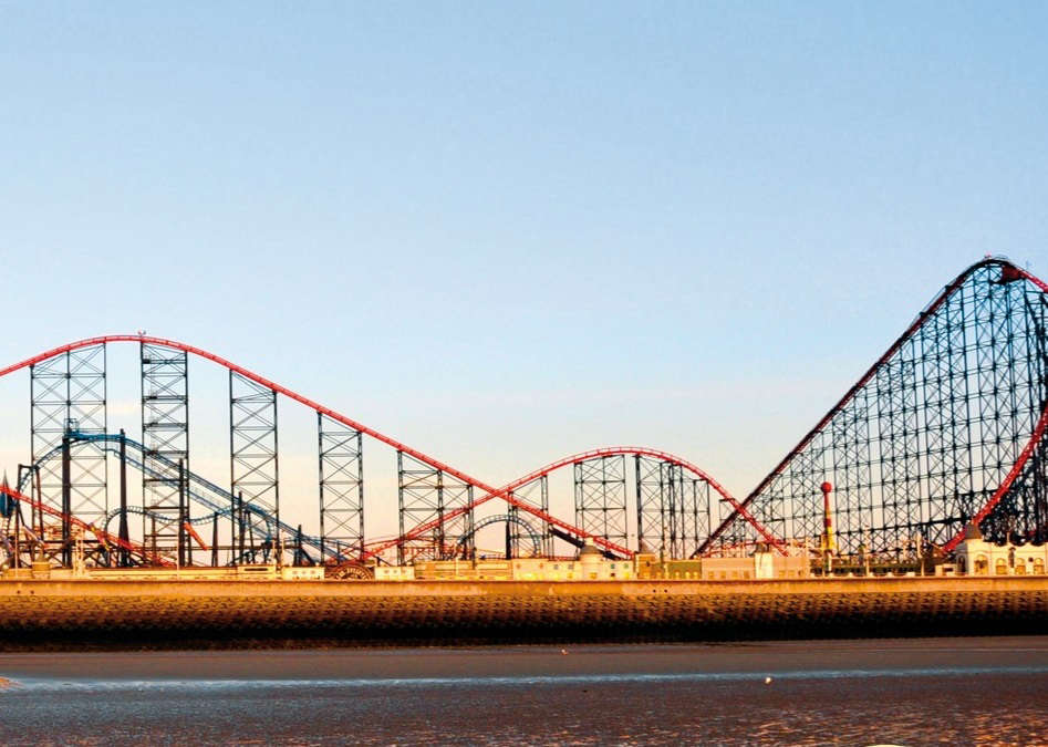
Blackpool Pleasure Beach has been mapped in detailed 3D for the first time through a partnership involving Ordnance Survey, Lancashire Fire and Rescue Service and the Lancashire Local Resilience Forum.
The project used drone technology and aerial imaging to create a photorealistic digital model of the attraction, which welcomes more than five million visitors each year.
Emergency planners say the model will help responders better understand the site’s complex layout, including elevated rides, restricted access routes and evacuation points that are difficult to assess using traditional maps.
The 3D mapping has also been combined with wider town-scale modelling to support joint emergency planning, training exercises and incident response across multiple agencies.
Project partners say the technology could improve responder safety and help emergency teams coordinate more effectively during major incidents.
 New homes to be built at former Woodlands site in Chorley
 Poulton cancer survivor who lost part of his leg to treatment walks 10 million steps in a year for charity
 Blackpool and Lancashire welcome for North’s Olympic proposals
 Why Ken Dodd’s ‘Happiness’ exhibition is perfect fit for Blackpool
 Lancashire MPs react to Prime Minister’s resignation